Map the Seafloor
1) How is your method of using the dowel and peg board to map the surface in your seafloor box similar to sonar or echo sound devices used by the military to map the ocean floor?
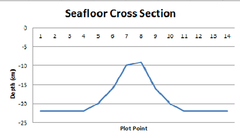
We used the wooden stick to graph what the structure inside the box looked like, using the cross section. Its similar because it helped shape the land form inside the "ocean".
We used the wooden stick to graph what the structure inside the box looked like, using the cross section. Its similar because it helped shape the land form inside the "ocean".
