Topographic Maps Notes
*What is a topographic map?
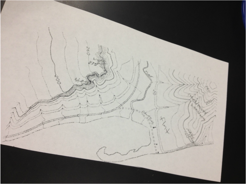
-show elevation
-shape of the earth's surface is shown by contour lines
-contour lines are lines connecting pints of equal elevation
*Reading topographic maps
-Contours that are close together represent steep slopes
-Widely spaced contours, or an absence of contour means that the ground slope is relatively level.
*What does it all mean?
The more contour lines packed closely together represent steep, cliff-like areas.
*Formula To Find Height
(top contour line-bottom contour line)/ # of spaces between the two = height between one line and another
*Graphing a Topographic Map
1) make a straight line across the map
2) make a graph
x axis- hash marks
y axis contour intervals
3) make hash marks every time the contour lines touch the straight line
4) graph the points